Piotr Kołodziejczykmagik_kapela
CHARAKTERYSTYKA TRASY
2011-06-07
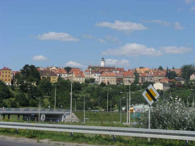
Polska, lubelskie, Biłgoraj

47 km
10 m
10 m
1/6
Komentarze
NA TEJ TRASIE PRZYDA CI SIĘ MAPA Z NASZEJ APLIKACJI
MAPA TURYSTYCZNA W APLIKACJI TRASEO
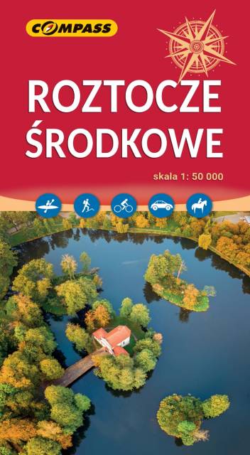
Roztocze
Roztocze is a range of hills in east-central Poland and western Ukraine which rises from the Lublin Upland and extends southeastward through Solska Wilderness and across the border into Ukrainian Podolia. It is approximately 180 km long and 14 km wide. Its highest peak within Poland is Wielki Dział at 390 meters. Polish Roztocze lies in the Lublin and Podkarpackie voivodships. In 2011 UNESCO established the Roztochya Biosphere Reserve. The Polish portion of the range makes up the Roztocze National Park.