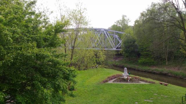
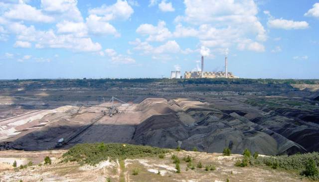
CHARAKTERYSTYKA TRASY

Komentarze
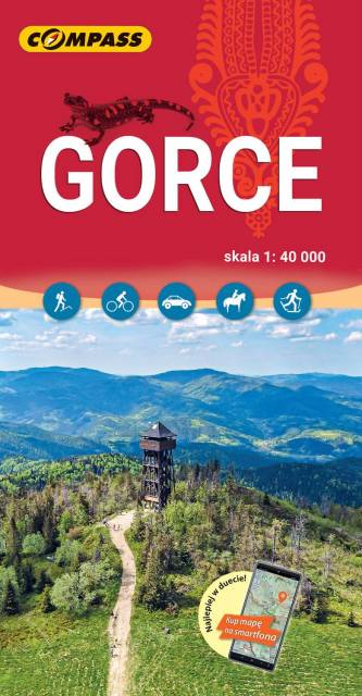
NA TEJ TRASIE PRZYDA CI SIĘ MAPA Z NASZEJ APLIKACJI
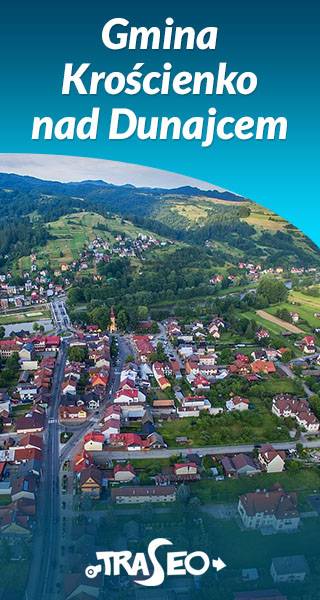
The map of the commune of Krościenko nad Dunajcem covers the area of three mountain ranges: Pieniny, Gorce and Radziejowa Range of Beskid Sądecki. Hiking trails have been marked here along with the given time and mileage. With tourists in mind, locations of monuments and tourist attractions were also marked. With tourists in mind, locations of monuments and tourist attractions were also marked. The map contains historical paths around Krościenko nad Dunajcem as well as routes to 11 mushrooms, which are situated in distinct landscape points of the commune.
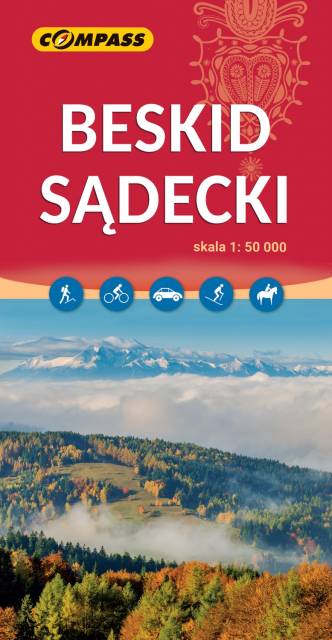
The map in detailed scale depicts part of the Polish Carpathian Mountains, south-east from Krakow: Beskid Sądecki (Sącz Beskid), Little Pieniny, Pieninki and a part of the Central Pieniny - with famous Dunajec River Gorge in Pieniny National Park and the Homole Ravine.
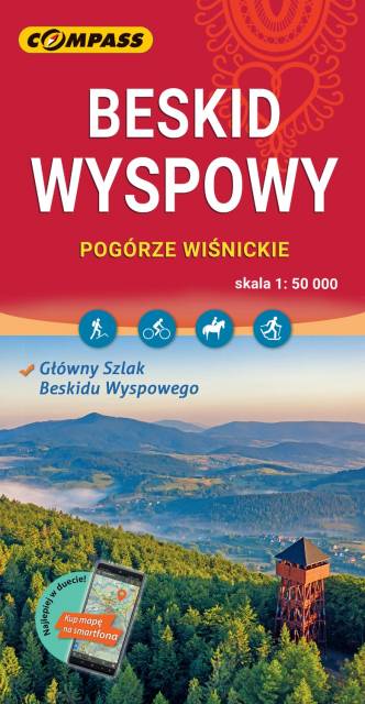
The map in detailed scale presents part of the Polish Carpathian Mountains, south from Krakow: Beskid Wyspowy (Island Beskid), Pogórze Wiśnickie (Wiśnicz Foothills), eastern part of Pogórze Wielickie (Wieliczka Foothills) and Gorce - one of the most popular and beautiful passes in Beskid.
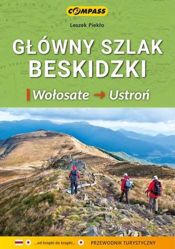
Mapa zawiera praktyczne informacje o Głównym Szlaku Beskidzkim (GSB) – najdłuższym szlaku górskim w Polsce, prowadzącym przez niemal wszystkie pasma beskidzkie (Bieszczady, Beskid Niski, Beskid Sądecki, Gorce, Beskid Żywiecki, Beskid Śląski). Przy mapach i wykresach przedstawione są kilometraże oraz punkty Górskiej Odznaki Turystycznej PTTK w taki sposób, by pomagały turyście niezależnie od tego gdzie rozpoczął wędrówkę. Zawarte zostały również: aktualny przebieg Głównego Szlaku Beskidzkiego, wyczerpujący opis techniczny przebiegu trasy, uwagi praktyczne dotyczące planowania wędrówki, informacje teleadresowe schronisk PTTK, ciekawostki krajoznawcze, przyrodnicze. Mapę offline można zakupić w aplikacji Traseo na urządzenia mobilne. Rok wydania 2021