

CHARAKTERYSTYKA TRASY

Komentarze

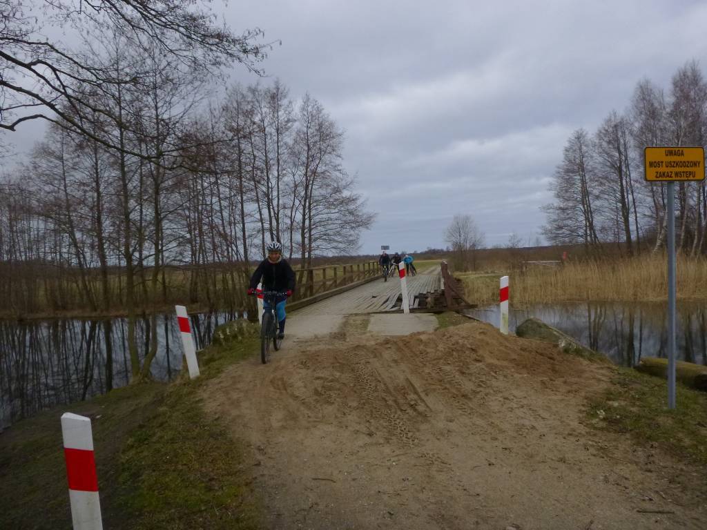
Dzisiaj jechałem ta trasą i jest jedną zmiana, most na Piaśnicy jest nieczynny praktycznie go nie ma, rozwiązanie jest takie, że trzeba jechać dalej drogą 213 i skręcić pierwszą w lewo w drogę szutrową i połączymy się z pierwotnym szlakiem już po drugiej stronie mostu.
NA TEJ TRASIE PRZYDA CI SIĘ MAPA Z NASZEJ APLIKACJI

Mapa Trójmiasta obejmuje swoim zasięgiem obszar Trójmiejskiego Parku Krajobrazowego od Wejherowa przez Redę, Rumię, Gdynię, Sopot aż do Gdańska. Na mapie ujęto wszystkie informacje przydatne turyście. Podano aktualne przebiegi szlaków pieszych, rowerowych, konnych, nordic walking i konnych, łącznie z kilometrażem.

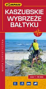
Mapa Kaszub obejmuje obszar Pojezierza Kaszubskiego wraz z Kaszubskim, Wdzydzkim i fragmentem Trójmiejskiego Parku Krajobrazowego oraz część Borów Tucholskich. Zasięg mapy wyznaczają: Bieszkowice na północy, Zblewo na południu, Dziemiany na zachodzie i Gdańsk na wschodzie. Rok wydania 2022

Mapa całego województwa pomorskiego z aktualnym przebiegiem dróg. Opisano ich numerację i kilometraż, zaznaczono również stacje paliw. Miejsca ciekawe, warte odwiedzenia podkreślono kolorem żółtym. Mapa posiada opisaną siatkę geograficzną WGS 84 przez co można ją zastosować do urządzeń z GPSem. Na rewersie umieszczono indeks miejscowości (miasta, wsie, przysiółki, duże dzielnice) oraz mapki tematyczne z podziałem administracyjnym, kodami pocztowymi, ochroną przyrody i krainami goegraficznymi.