


Daniel Pastuszakonkel
CHARAKTERYSTYKA TRASY
2025-02-23
Polska, wielkopolskie, powiat kaliski

28 km
30 m
31 m
3 h 20 min
1/6
Komentarze
NA TEJ TRASIE PRZYDA CI SIĘ MAPA Z NASZEJ APLIKACJI
MAPA TURYSTYCZNA W APLIKACJI TRASEO
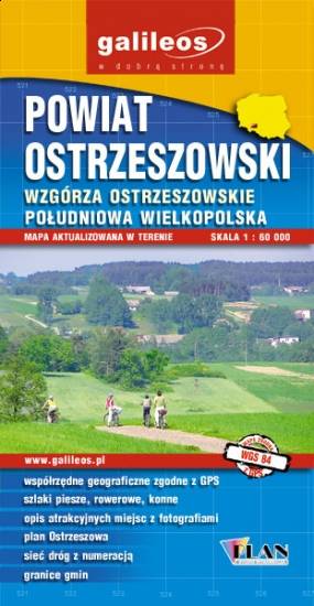
Ostrzeszów County
The Ostrzeszów County is situated in central Poland, in the Greater Poland Voivodeship. A lot of information useful for tourists is marked on the map: monuments, accomodation facilities, protected areas, cycling and walking trails, as well as street names.

MAPA TURYSTYCZNA W APLIKACJI TRASEO
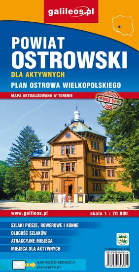
Ostrów Wielkopolski County
The map depicts the Ostrów Wielkopolski County in central Poland. Most interesting places are highlighted with a yellow frame. Cycling, walking nad didactic trails are marked in the map, as well as monuments, other tourist attractions, fisheries, accomodation facilities, stud farms, high rope courses, marinas, tennis courts, shooting ranges, sports halls, swimming pools and bathing areas.