


Charakterystyka trasy

Komentarze
NA TEJ TRASIE PRZYDA CI SIĘ MAPA Z NASZEJ APLIKACJI
Wielka Sowa to najbadziej popularny i najliczniej odwiedzany szczyt w Górach Sowich, jednocześnie jest to również najwyższy szczyt tego pasma Sudetów - 1015 m. n.p.m. Na szczycie Wielkiej Sowy odbywają się różne imprezy, zloty czy pikniki. Mapa obejmuje teren ograniczony miejscowościami: Walim, Pieszyce, Dzierżoniów, Jugów. Zaznaczono na niej aktualny przebieg szlaków turystycznych pieszych i rowerowych z ich długościami. Na mapie naniesiono ośrodki noclegowe i restauracje. Siatka geograficzna zgodna z GPS oparta na układzie WGS-84.
Mapa została przygotowana tylko dla urządzeń cyfrowych, nie ma odpowiednika w wersji papierowej.
Mapa Gór Sowich Wydawnictwa Galileos z aktualnym przebiegiem szlaków turystycznych, zarówno pieszych jak i rowerowych. Wraz z czasem przejść. Zasięg mapy na północy wyznacza Świdnica, na wschodzie Bielawa, na południu Srebrna Góra i Nowa Ruda, na zachodzie Jedlina Zdrój. Rok wydania 2020

Mapa turystyczna "Góry Sowie" zamknięta jest przez: Wałbrzych na północnym-zachodzie, Broumov na zachodzie, Radków na południu, Srebrna Góra na południowym-wschodzie. Prawdziwą osobliwością tego obszaru są podziemne obiekty militarne. Jest to atrakcyjny teren na piesze i rowerowe wycieczki. Są tu dobre warunki dla miłośników MTB, narciarstwa zjazdowego i biegowego, jazdy konnej. Na mapie oznaczono szlaki turystyczne: piesze i rowerowe. Rok wydania 2024
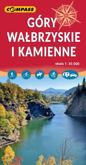
Mapa obejmuje Góry Wałbrzyskie, Góry Kamienne i Adszprasko-Teplickie Skały po czeskiej stronie. Na mapie są wszystkie elementy potrzebne turyście do poruszania się w tym ciekawym terenie. Podane odległości i czasy przejść pomogą zaplanować wycieczkę. Rok wydania 2023

Mapa przedstawia zbiór 26 górskich tras Strefy MTB Sudety, w tym tras singletrack, enduro i torów pumptrack, wiodących po terenach Gór Sowich, Suchych oraz Kamiennych. Dodatkowo na mapie zaznaczono punkty dostępu do tras Strefy, serwisy i myjnie rowerowe oraz certyfikowane punkty noclegowe i gastronomiczne Strefy MTB.
Mapa tras rowerowych MTB swym zasięgiem obejmuje obszar od Boguszowa-Gorców na północnym zachodzie, po Bardo na południowym wschodzie. Ukształtowanie terenu pokazano przy pomocy warstwic o cięciu co 20 m.
Rok wydania: 2018