

Charakterystyka trasy

Komentarze
NA TEJ TRASIE PRZYDA CI SIĘ MAPA Z NASZEJ APLIKACJI
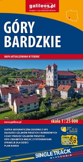
Mapa obejmuje obszar Gór Bardzkich z miastami: Bardo, Kłodzko, Ząbkowice Śląskie oraz Srebrna Góra. Dzięki dokładnej skali 1:25 000 wszystkie szlaki piesze i rowerowe mają podane długości oraz czas przejścia szlaków pieszych. Na mapie znajdują się również informacje praktyczne i turystyczne przydatne turystom: zabytki, noclegi, punkty gastronomiczna, granice obszarów chronionych i rezerwatów. Ciekawe obiekty wyróżniono kolorem żółtym. Mapa przygotowana tylko dla urządzeń cyfrowych – brak dostępnej wersji papierowej.
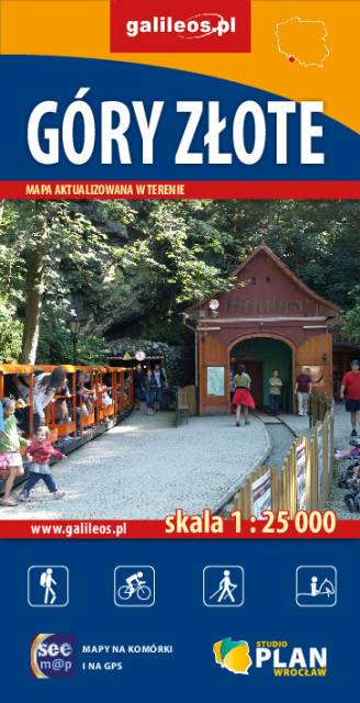
Szczegółowa mapa turystyczna Gór Złotych z uwzględnieniem atrakcji, zabytków, noclegów, gastronomii oraz innych miejsc przydatnych turyście. Zawiera wszystkie znakowane szlaki turystyczne piesze, rowerowe, ścieżki dydaktyczne wraz z kilometrażem. Obejmuje swym zasięgiem pasmo Gór Złotych oraz takie miejscowości jak Paczków, Javornik, Złoty Stok, Lądek Zdrój, Stronie Śląskie.
Rok wydania: 2018
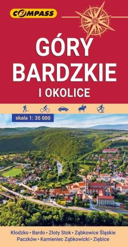
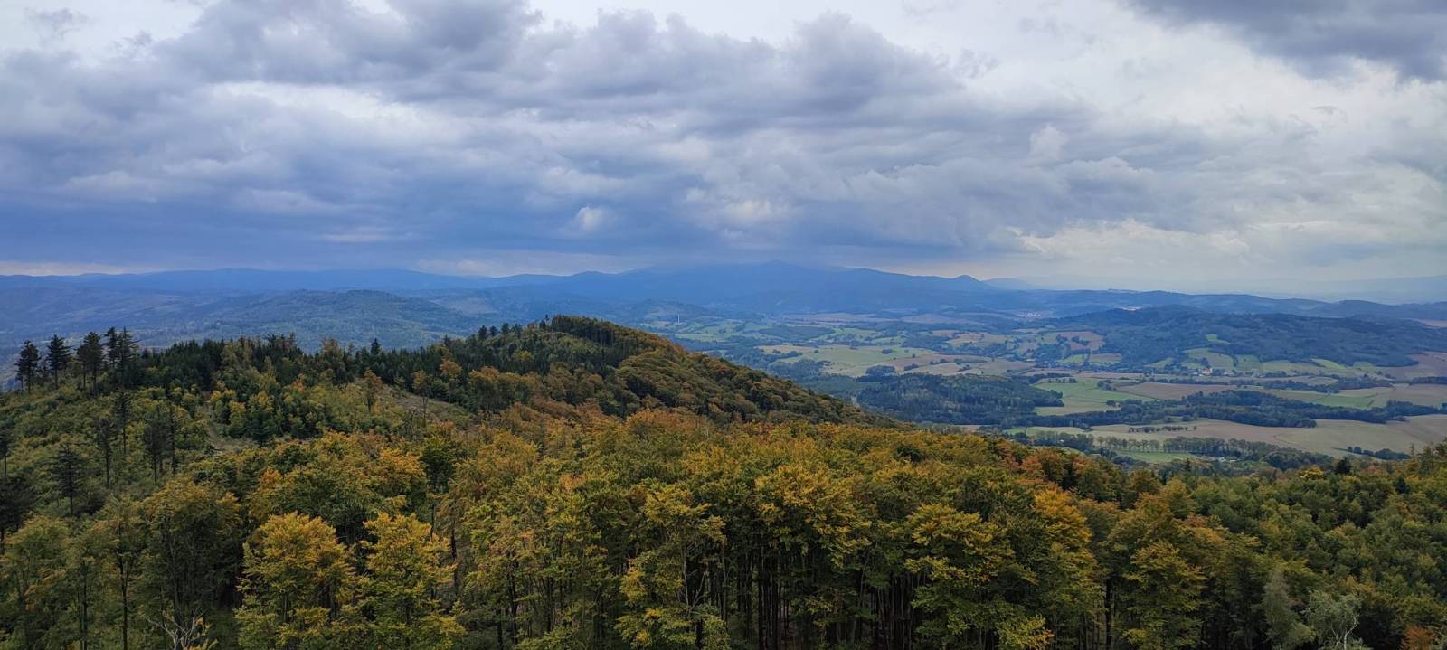
Mapa przedstawia najdalej na wschód wysunięte pasmo górskie w Sudetach Środkowych, a także dodatkowo część Gór Sowich i Gór Złotych. Zasięg mapy wyznaczają: Ząbkowice Śląskie na północy, Ołdrzychowice Kłodzkie i Złoty Stok na południu, Wolibórz na zachodzie i Paczków na wschodzie. Na mapie znalazły się także plany miast: Kłodzko centrum, Bardo, Złoty Stok, Ząbkowice Śląskie, Paczków, Kamieniec Ząbkowicki, Ziębice. Na mapie zastosowano cieniowanie w celu uzyskania wrażenia plastyczności rzeźby terenu. Mapę offline można zakupić w aplikacji Traseo na urządzenia mobilne. Rok wydania 2021
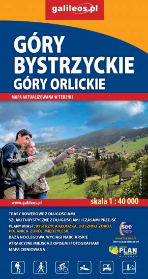
Mapa Gór Bystrzyckich to nowe, uaktualnione wydanie. Mapa obejmuje obszar Gór Bystrzyckich i Orlickich, z uzdrowiskami Polanica Zdrój i Duszniki Zdrój oraz ośrodkami narciarskimi w Zieleńcu i Deštnem. Jest to obszar ograniczony współrzędnymi 16°18’ - 16°40’ długości geograficznej wschodniej oraz 50°06’-50°26’ szerokości geograficznej północnej. Znajdują się tu takie atrakcje jak Torfowisko pod Zieleńcem i przełom Dzikiej Orlicy Zemská brána. Na mapie zaznaczono informacje przydatne turyście, jak zabytki, noclegi, granice obszarów chronionych, szczególnie atrakcyjne miejsca zaznaczono żółtą ramką. W miejscowościach opisano nazwy ulic. Podano aktualne przebiegi szlaków pieszych, rowerowych, narciarskich i konnych, łącznie z kilometrażem co pozwoli łatwiej zaplanować wycieczkę. Przy szlakach pieszych podano także orientacyjny czas przejścia. Zaznaczono wyciągi narciarskie i trasy zjazdowe. Ukształtowanie terenu pokazano przy pomocy warstwic o cięciu co 20 m.
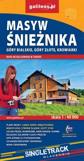
Mapa Masywu Śnieżnika, Gór Złotych i Bialskich oraz Krowiarek, z najwyższym szczytem Ziemi Kłodzkiej - Śnieżnikiem i Ośrodkiem Narciarskim Czarna Góra. Znajdują się tu takie atrakcje jak Wodospad Wilczki i Jaskinia Niedźwiedzia. Na mapie zaznaczono informacje przydatne turyście, jak zabytki, noclegi, granice obszarów chronionych, szczególnie atrakcyjne miejsca zaznaczono żółtą ramką. W miejscowościach opisano nazwy ulic. Podano aktualne przebiegi szlaków pieszych, rowerowych, narciarskich i konnych, łącznie z kilometrażem, co pozwoli łatwiej zaplanować wycieczkę. Przy szlakach pieszych podano także orientacyjny czas przejścia.

Mapa przedstawia zbiór 26 górskich tras Strefy MTB Sudety, w tym tras singletrack, enduro i torów pumptrack, wiodących po terenach Gór Sowich, Suchych oraz Kamiennych. Dodatkowo na mapie zaznaczono punkty dostępu do tras Strefy, serwisy i myjnie rowerowe oraz certyfikowane punkty noclegowe i gastronomiczne Strefy MTB.
Mapa tras rowerowych MTB swym zasięgiem obejmuje obszar od Boguszowa-Gorców na północnym zachodzie, po Bardo na południowym wschodzie. Ukształtowanie terenu pokazano przy pomocy warstwic o cięciu co 20 m.
Rok wydania: 2018