
Charakterystyka trasy

Komentarze
NA TEJ TRASIE PRZYDA CI SIĘ MAPA Z NASZEJ APLIKACJI
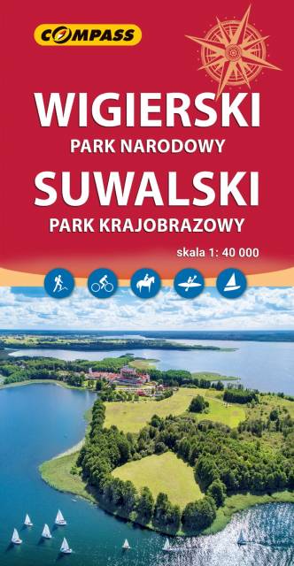
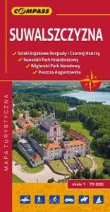
Mapa przedstawia najatrakcyjniejszy turystycznie fragment Suwalszczyzny, obejmujący Wigierski Park Narodowy i Suwalski Park Krajobrazowy. Zasięg mapy wyznaczają: Wiżajny na północy, Skajzgiry na zachodzie, Jezioro Blizno na południu oraz Pogorzelec na wschodzie.
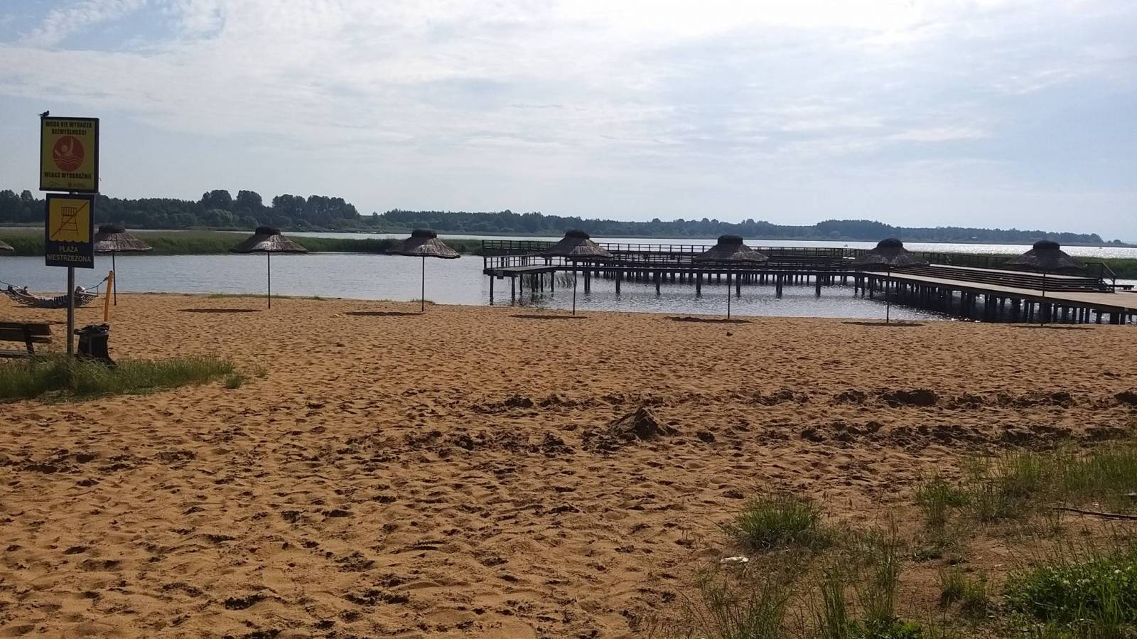
Jest to region o wyjątkowo urokliwych krajobrazach. Zawdzięczamy je ostatniemu zlodowaceniu, po którym topniejące masy lodu i polodowcowe wody ukształtowały morenowe wzniesienia porozdzielane głębokimi dolinami rzecznymi i jeziorami z największym jeziorem Suwalszczyzny – Wigrami i najgłębszym polskim jeziorem – Hańczą na czele. Polodowcową pamiątką są liczne, okazałe głazy tworzące głazowiska, przetransportowane tu ze Skandynawii. Uroku dodają rozległe kompleksy Puszczy Augustowskiej, okalającej większą część linii brzegowej Jeziora Wigry.
Obszar ten to idealne miejsce dla amatorów sportów wodnych. Dużą popularnością cieszą się spływy kajakowe Czarną Hańczą. Warto również wybrać się na spacery i wycieczki rowerowe po Wigierskim Parku Narodowym i Suwalskim Parku Krajobrazowym. Rok wydania 2023
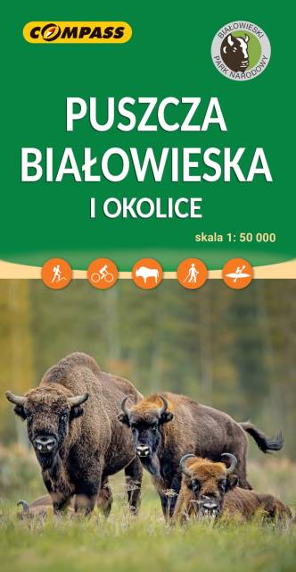
Puszcza Białowska zajmuje obszar 150 000 ha po stronie polskiej i białoruskiej. Mapa Puszczy Białowieskiej pozwala na dokładne zapoznanie się ze specyfiką terenu, znajdującymi się na nim ścieżkami przyrodniczymi oraz najważniejszymi obiektami. Rok wydania 2023