

Charakterystyka trasy

Komentarze
NA TEJ TRASIE PRZYDA CI SIĘ MAPA Z NASZEJ APLIKACJI
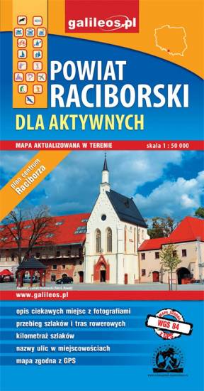
Mapa Raciborza i okolic obejmuje obszar, w skład którego wchodzą gminy: Racibórz, Kornowac, Nędza, Kuźnia Raciborska, Rudnik, Pietrowice Wielkie, Krzanowice, Krzyżanowice. Szczególnie atrakcyjne miejsca zaznaczono żółtą ramką. Podano aktualne przebiegi szlaków pieszych, rowerowych i dydaktycznych, łącznie z kilometrażem.
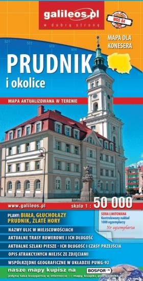
Mapa Prudnika i okolic obejmuje obszar od Nysy i Krapkowic do Głuchołaz i Města Albrechtickiego. Naniesiono wszystkie trasy rowerowe, szlaki piesze i konne. Podano ich długość a przy szlakach pieszych również czasy przejść. We wszystkich miejscowościach podano nazwy ulic. Na mapie użyta jest siatka geograficzna, opisana co 1 minutę (szerokość geograficzna) i 2 minuty (długość geograficzna). W formie drukowanej mapa wydana została w nakładzie 1000 egzemplarzy jako limitowana seria.
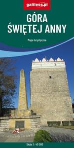
Obszar naniesiony na mapę Góry Świętej Anny przedstawia dużo większy obszar niż jej tytuł, ograniczona jest miejscowościami: Strzeleczki, Walce, Kędzierzyn-Koźle, Toszek i Opole. Na mapie zaznaczono: szlaki piesze oraz rowerowe (mają podane długości). Są tu również szlaki konne i kajakowe. Dzięki informacjom zawartym na mapie planowanie wycieczki z jakiejkolwiek formy turystyki staje się proste.
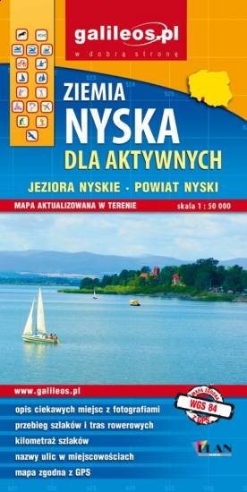
Mapa Ziemi Nyskiej obejmuje miasto Nysa wraz z sąsiednimi gminami. Szczególnie atrakcyjne miejsca zaznaczono żółtą ramką. Podano aktualne przebiegi szlaków pieszych, rowerowych i kajakowych, łącznie z kilometrażem, co pozwala łatwiej zaplanować wycieczkę. Na mapie zaznaczono przebieg Szlaku Czarownic oraz Szlaku św. Jakuba.