


Charakterystyka trasy

Komentarze
NA TEJ TRASIE PRZYDA CI SIĘ MAPA Z NASZEJ APLIKACJI
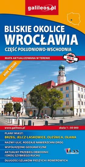
Mapa Wrocławia i okolic na zachodzie sięga po centrum Wrocławia, na wschodzie do Brzegu, południowa granica określona jest przez Wiązów, północna przez Oleśnicę. Jest to obszar ograniczony współrzędnymi 17°04’ - 17°30’ długości geograficznej wschodniej oraz 50°49’-51°14’ szerokości geograficznej północnej. Mapa aktualizowana w terenie, zawiera długości szlaków pieszych i rowerowych, nazwy ulic, rodzaje nawierzchni dróg, zabytki. Tak dokładnej mapy turystycznej tego obszaru jeszcze nie było!
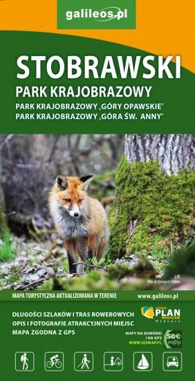
Mapa turystyczna Stobrawskiego Parku Krajobrazowego aktualizowana w terenie z zaznaczonymi szlakami pieszymi i rowerowymi. Obejmuje swym zasięgiem obszar ograniczony od południowego-wschodu Jeziorem Turawskim, od północy sięga po Wołczyn, natomiast od wschodu po Brzeg.

Na mapie Przedgórza Sudeckiego zaznaczono informacje przydatne turyście, jak zabytki, noclegi, granice obszarów chronionych. W miejscowościach opisano nazwy ulic. Podano aktualne przebiegi szlaków pieszych, rowerowych, narciarskich i konnych, łącznie z kilometrażem, co pozwoli łatwiej zaplanować wycieczkę. Przy szlakach pieszych podano także orientacyjny czas przejścia. Zaznaczono wyciągi narciarskie i trasy zjazdowe. Ukształtowanie terenu pokazano przy pomocy warstwic o cięciu co 20 m.
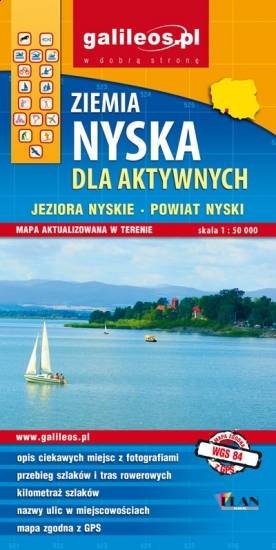
Mapa Ziemi Nyskiej obejmuje miasto Nysa wraz z sąsiednimi gminami. Szczególnie atrakcyjne miejsca zaznaczono żółtą ramką. Podano aktualne przebiegi szlaków pieszych, rowerowych i kajakowych, łącznie z kilometrażem, co pozwala łatwiej zaplanować wycieczkę. Na mapie zaznaczono przebieg Szlaku Czarownic oraz Szlaku św. Jakuba.

Mapa turystyczna Euroregionu Pradziad obejmuje obszar pogranicza polsko-czeskiego: po polskiej stronie województwo opolskie a po czeskiej okresy Jesenik i Bruntal. Specjalnie opracowany podkład kartograficzny zawiera niezbędne informacje do uprawiania aktywnej turystyki w transgranicznym regionie: szlaki piesze, konne, trasy rowerowe oraz inne ważne elementy infrastruktury turystycznej.
Mapa została wykonana w ramach projektu „E-bike nowoczesna turystyka” współfinansowanego ze środków Europejskiego Funduszu Rozwoju Regionalnego oraz ze środków budżetu państwa. „Przekraczamy granice”.