Charakterystyka trasy

Komentarze
NA TEJ TRASIE PRZYDA CI SIĘ MAPA Z NASZEJ APLIKACJI
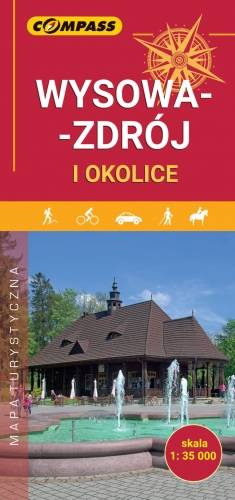
Mapa przedstawia najbliższe okolice miejscowości Wysowa-Zdrój oraz plan centrum w skali 1:7'500. Wysowa-Zdrój to niewielka miejscowość uzdrowiskowa położona w południowo-wschodniej części województwa małopolskiego, w powiecie gorlickim, przy granicy ze Słowacją. Otoczona jest zewsząd górami Beskidu Niskiego, tzw. Górami Hańczowskimi. Mapa zawiera dodatkowo informator turystyczny, a w nim: informacje ogólne o Wysowej-Zdroju, miejsca i obiekty godne odwiedzenia, propozycje spacerów i wycieczek, atrakcje dla dzieci, przydatne adresy i numery telefonów. Całość wzbogacona jest fotografiami. Mapę offline można zakupić w aplikacji Traseo na urządzenia mobilne. Rok wydania 2024
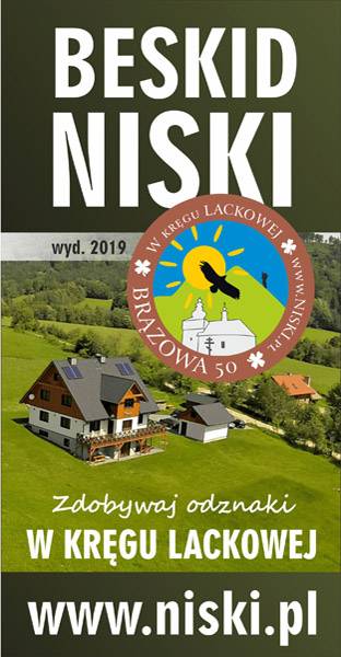
Mapa Beskidu Niskiego, przeznaczona jest dla wszystkich, którzy przybywają w góry puste i dzikie, aby aktywnie spędzić czas, jeździć na rowerze i zdobywać piesze odznaki W KRĘGU LACKOWEJ, o których dowiesz się więcej na stronie www.niski.pl. Znajdziesz na mapie największe atrakcje turystyczne i przyrodnicze regionu. Oznaczone są także cmentarze z okresu I wojny światowej oraz zabytkowe cerkwie. Wyznaczyliśmy trasy rowerowe, a trasy piesze można wyszukać w Traseo po wpisaniu hasła SIWEJKA i zaimportować do aplikacji. Ciesz się chwilą, wypoczywaj aktywnie – nocleg możesz zarezerwować u twórców mapy w gospodarstwie Siwejka. www.siwejka.pl
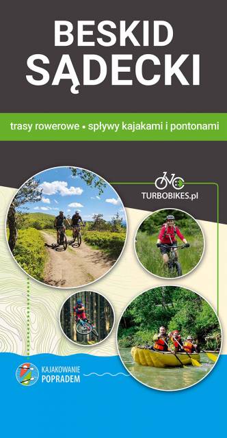
Pobierz bezpłatnie mapę tras rowerowych, a my zapraszamy również na wyprawy rowerowe z Turbobikes.pl
Zapraszamy na:
wyprawy rowerowe w Paśmie Jaworzyny i rowerowo- pontonowe/kajakowe w Dolinie Popradu
Velo Porad - szlak z Krynicy do Starego Sącza: nadrzeczny szlak, spokojna trasa poza głównym ruchem samochodowym, dedykowana na rodzinne wycieczki lub spokojną jazdę w grupie znajomych na jeden lub dwa dni.
Przewozimy bagaże, odbieramy sprzęt i podwozimy do punktu startu lub do hotelu lub pensjonatu.
Spływy kajakowe i pontonowe z Muszyny, również w połączeniu z wycieczką rowerową wzdłuż Popradu.
18 471 27 85 i 507 032 958 www.kajakowaniepopradem.pl
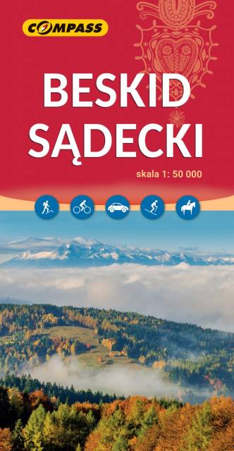
Mapa offline wydawnictwa Compass, którą można otworzyć na telefonie w naszej aplikacji Traseo, obejmuje cały obszar Beskidu Sądeckiego, od doliny Dunajca na zachodzie i północnym zachodzie, po Krynicę, Tylicz i Muszynkę na południowym wschodzie. Zawiera także obszar Małych Pienin, Pieninek oraz część Pienin Właściwych. Na mapie znajduje się również fragment Beskidu Niskiego: Gór Grybowskich. Rok wydania 2023
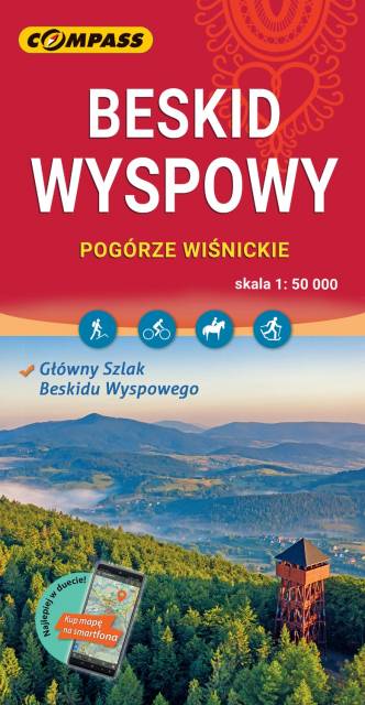
Mapa w wersji elektronicznej, którą można otworzyć jako jeden z podkłądów offline w aplikacji mobilnej Traseo. Mapa wydawnictwa compass obejmuje zasięgiem Beskid Wyspowy oraz Pogórze Wiśnickie i wschodnią część Pogórza Wielickiego. Od północy ogranicza ją Brzesko i Bochnia, na południu Rabka i Stary Sącz, na zachodzie - Jordanów, a na wschodzie - Nowy Sącz. To świetna alternatywa dla mapy drukowanej. Rok wydania: 2023