
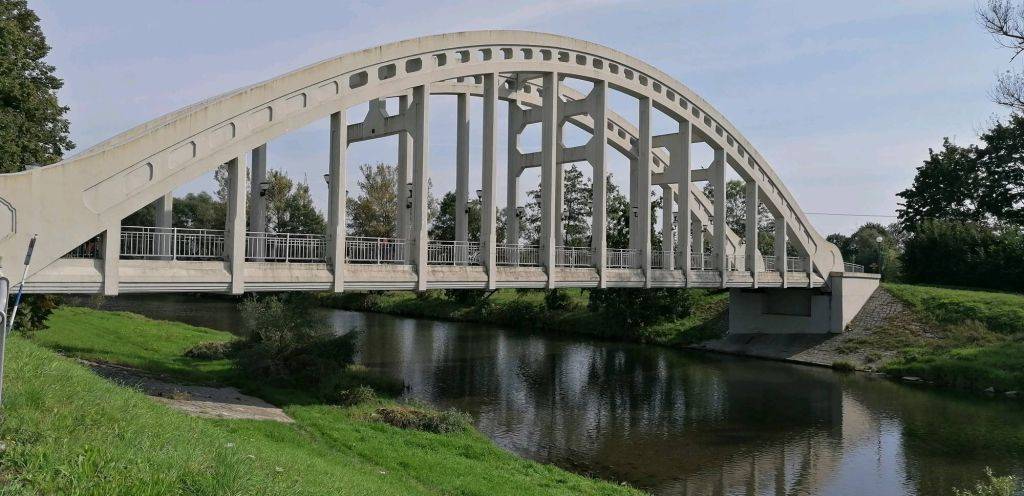


Charakterystyka trasy

Komentarze
NA TEJ TRASIE PRZYDA CI SIĘ MAPA Z NASZEJ APLIKACJI
Mapa Pszczyny, Tych i okolic ograniczony jest przez Oświęcim na wschodzie i Żory na zachodzie, południowa część mapy to Jezioro Goczałkowickie. Na mapie zaznaczono informacje przydatne turyście i podano przebiegi szlaków pieszych i rowerowych. Wyróżniono miejscowości godne zwiedzania i miejsca szczególnie interesujące aktywnych.
Mapa Raciborza i okolic obejmuje obszar, w skład którego wchodzą gminy: Racibórz, Kornowac, Nędza, Kuźnia Raciborska, Rudnik, Pietrowice Wielkie, Krzanowice, Krzyżanowice. Szczególnie atrakcyjne miejsca zaznaczono żółtą ramką. Podano aktualne przebiegi szlaków pieszych, rowerowych i dydaktycznych, łącznie z kilometrażem.
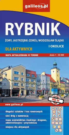
Mapa Rybnika i okolic obejmuje Żory, Jastrzębie-Zdrój, Rybnik i Wodzisław Śląski. Zaznaczono na niej informacje przydatne turyście, jak zabytki, noclegi, granice obszarów chronionych. W miejscowościach opisano nazwy głównych ulic. Podano aktualne przebiegi szlaków pieszych i rowerowych.
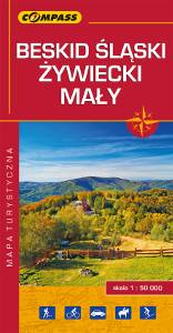
Mapa turystyczna Beskidu Śląskiego, Żywieckiego i Małego - zostały zaznaczone na niej najpotrzebniejsze dla turystów informacje: przebiegi szlaków i atrakcje turystyczne. Z mapy można korzystać będąc offline, po zakupie wybiera się ją jako jeden z podkładów mapowych, widać pozycję użytkownika na mapie. To świetna alternatywa dla map drukowanych. Rok wydania: 2018

Turistická mapa Euroregionu Praděd zahrnuje území česko-polského příhraničí: na české straně okresy Jeseník a Bruntál, na polské straně Opolské vojvodství. Speciálně zpracovaný kartografický podklad obsahuje nezbytné informace pro aktivní turistiku v přeshraniční oblasti: pěší, jezdecké, cyklistické stezky a další významné objekty infrastruktury cestovního ruchu.
Mapa byla zpracována v rámci projektu „E-bike moderní turistika" spolufinancovaného z prostředků Evropského fondu pro regionální rozvoj a ze státního rozpočtu. „Překračujeme hranice".