


Robert Lukszarobert.luxa
Charakterystyka trasy
2017-06-17
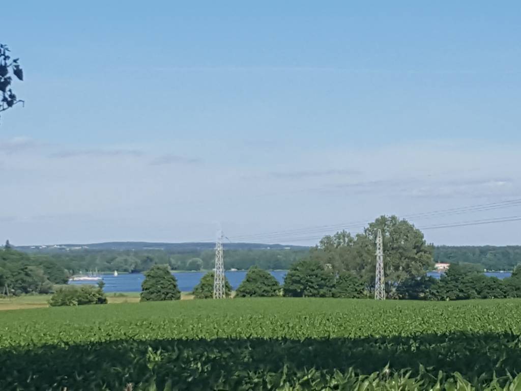
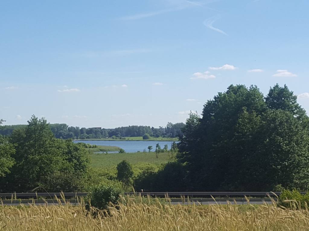
Zielona Góra, Wolsztyn, Nowy Tomyśl, Opalenica, Buk, Poznań

171 km
138 m
217 m
26 h 50 min
3.3/6
Komentarze
NA TEJ TRASIE PRZYDA CI SIĘ MAPA Z NASZEJ APLIKACJI


MAPA TURYSTYCZNA W APLIKACJI TRASEO
Międzyrzecki Rejon Umocniony. Pojezierze Łagowskie
Aktualizowana w terenie mapa Pojezierza Łagowskiego i Międzyrzeckiego Rejonu Umocnionego. Na mapie umieszczono aktualne szlaki piesze i rowerowe oraz rozrysowany schemat odcinka centralnego umocnień Międzyrzeckich.


MAPA TURYSTYCZNA W APLIKACJI TRASEO
Szlak Piastowski
Mapa turystyczna Szlaku Piastowskiego, który przebiega przez województwa: wielkopolskie i kujawsko-pomorskie. Mapa została zaktualizowana w terenie, zostały na niej uwzględnione wszelkie niezbędne informacje turystyczno-krajoznawcze oraz informacje praktyczne. Rok Wydania 2017
